 Cool & Calm
53°F
Forecast
Alerts
Satellite
Radar
Traffic
Cameras
BLM/Fire
Cameras
Cameras
Roads
Traveler
Info.
Local
Info.
Records
Trends
Precip.
Graphs
Sun
Moon
Earthquakes
County
Weather
Northwest
Weather
USA
World
Weather
Fire
Info.
Links
Elko
Repeater
About
Contact
Site
Map
|
|
Home Of the Elko Nevada Weather Page.

Elko Nevada USA & Elko County Weather, Cameras, News, & More
|
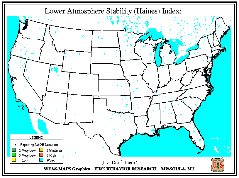
Haines Index
 Haines Index, It is used to indicate the potential for wildfire growth by measuring the stability and dryness of the air over a fire.
It is calculated by combining the stability and moisture content of the lower atmosphere into a number that correlates well with large fire growth.
The stability term is determined by the temperature difference between two atmospheric layers; the moisture term is determined by the temperature and dew point difference.
This index has been shown to be correlated with large fire growth on initiating and existing fires where surface winds do not dominate fire behavior.
The Haines Index can range between 2 and 6. The drier and more unstable the lower atmosphere is, the higher the index.
2 : Very Low Potential -- (Moist Stable Lower Atmosphere)
3 : Very Low Potential
4 : Low Potential
5 : Moderate Potential
6 : High Potential ------ (Dry Unstable Lower Atmosphere)
Back To Fire Info.

Home
Mobile Site
SiteMap
About & Contact
Current Time
9:09 AM Pacific
10:09 AM Mountain
11:09 AM Central
12:09 PM Eastern
16:09 UTC
12 visitors currently viewing this site.

Weather forecast provided by the National Weather Service.
Weather data from this station is accurate and up to date as possible, equipment failures,
internet issues, weather and/or other conditions may affect the accuracy of the data shown.
Use this weather data with caution.
Copyright © 2003 - 2024 nvwx.com
Unauthorized duplication or distribution is prohibited.
Privacy Policy
|


